
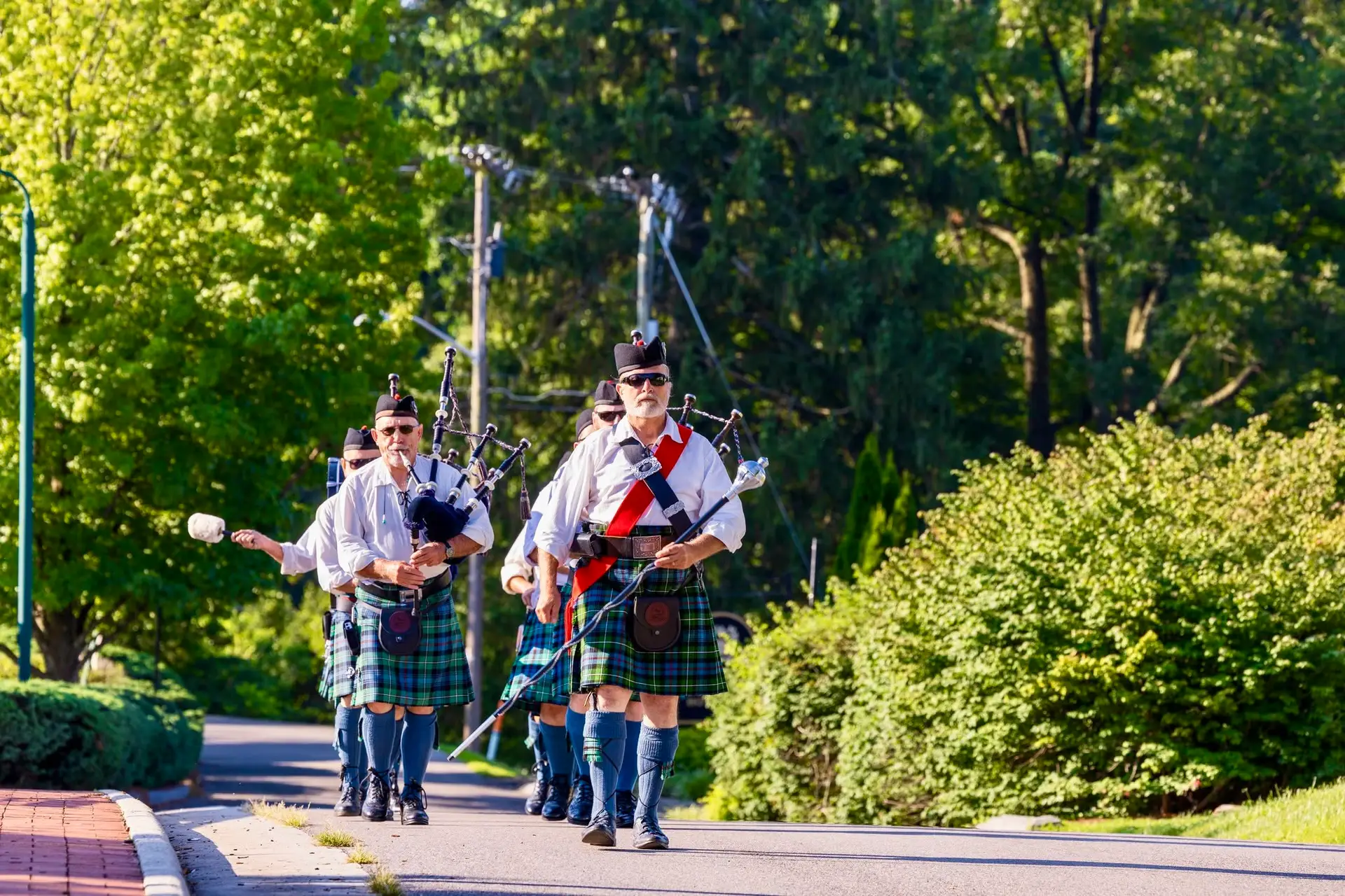
Get ready to celebrate! From July 24 to August 2, 2026, the 77th Virginia Highlands...


Get ready to celebrate! From July 24 to August 2, 2026, the 77th Virginia Highlands...
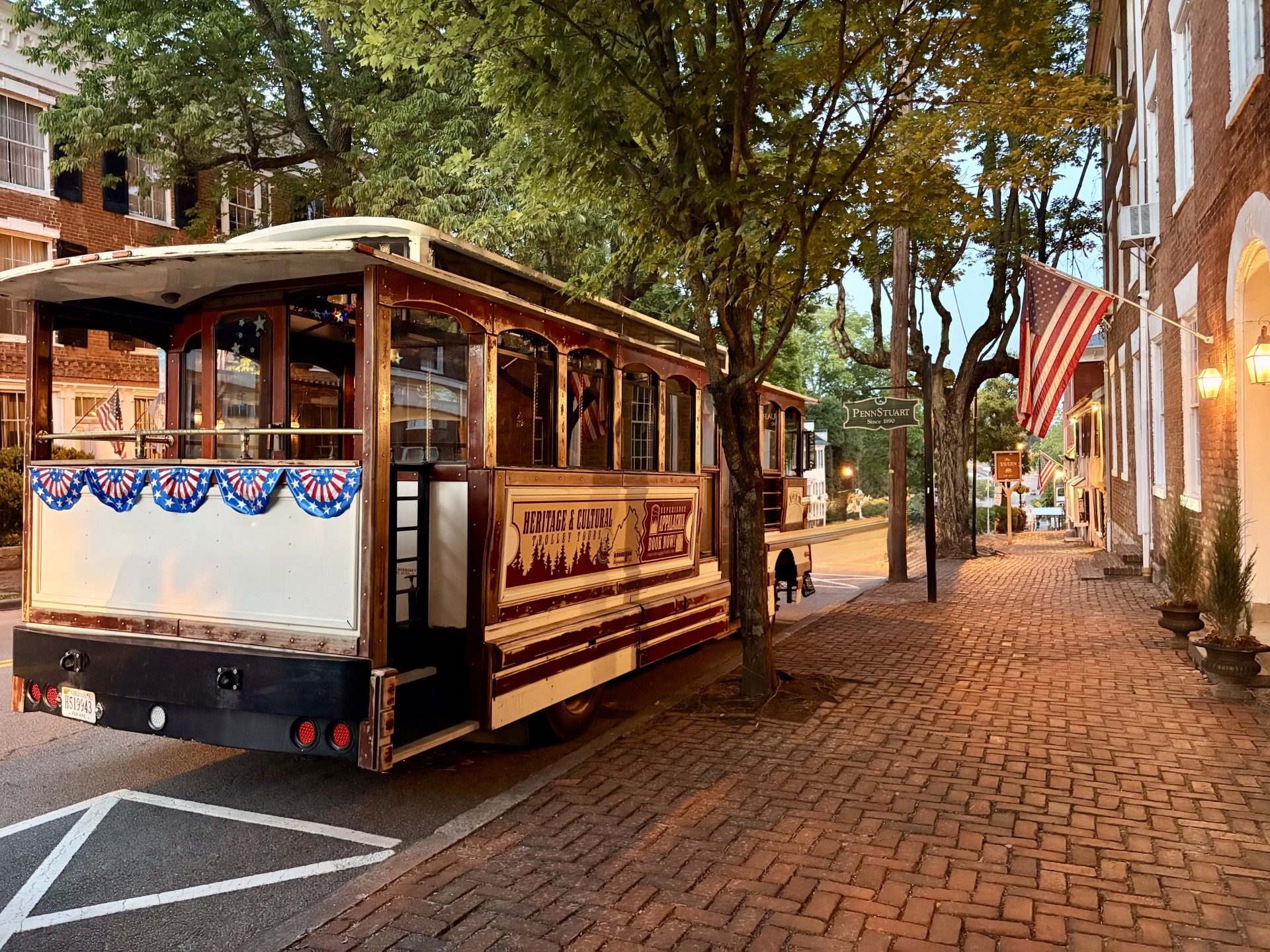
As the sun begins to dip behind the mountains, Abingdon takes on a whole new charm. Historic brick sidewalks glow in the evening light,...
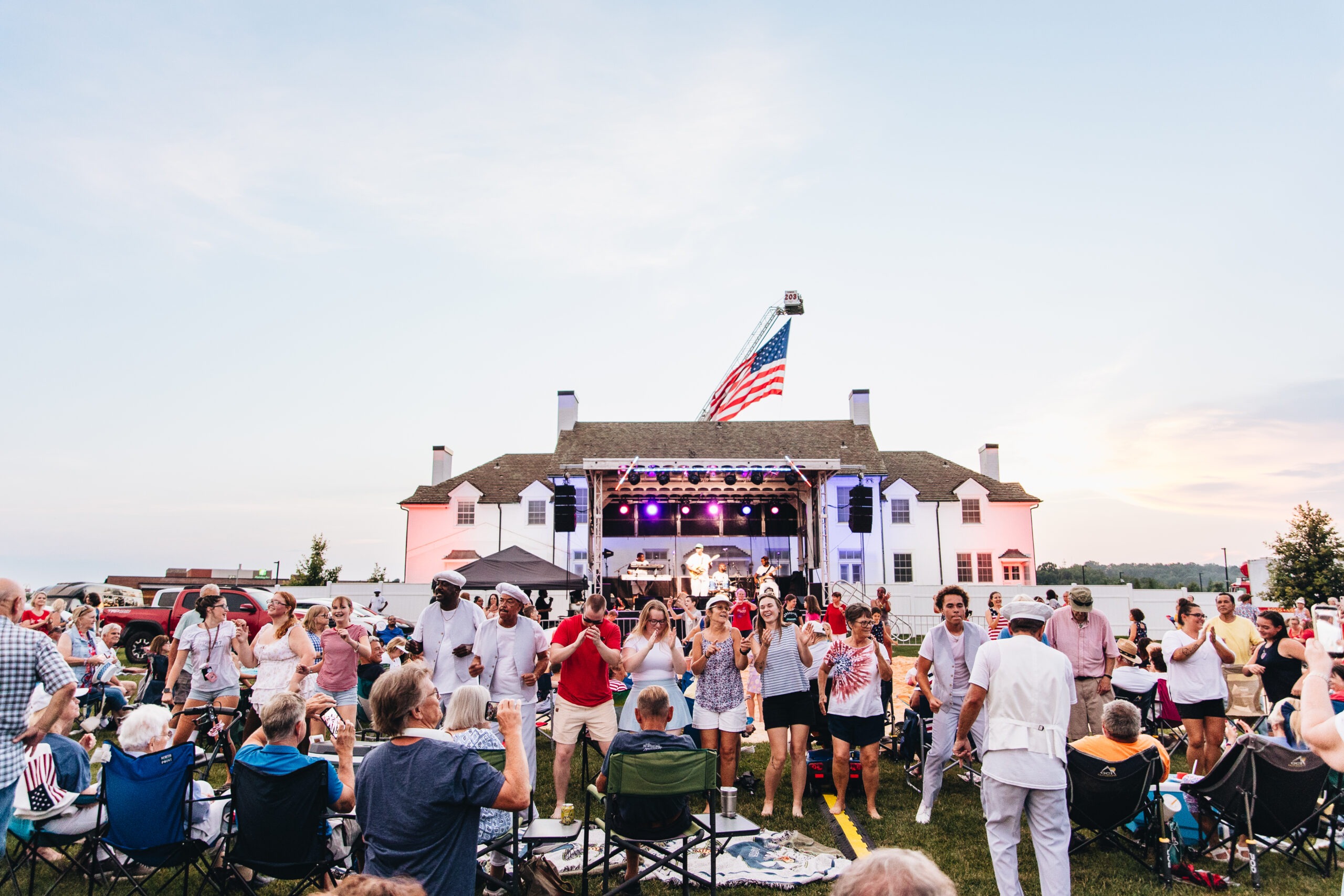
Core summer memories were made on Saturday, July 4, 2026, as thousands of residents and visitors gathered at the Meadows Sports Complex to celebrate...
VA250 is a celebration of Virginia’s revolutionary legacy. In Abingdon, experience our role in America’s founding through walking tours, LibertyFest, and Barter Theatre’s production of Kings Mountain. Explore the people, places, and events that helped shape the nation.