Highlights
Hiking to Mount Rogers: The Best Day Hike in Southwest Virginia
Reaching the tallest peak in each state is a goal for some people, who need to develop the mountaineering skills to conquer Denali in Alaska as well as the patience to drive through the cornfields to Charles Mound in Illinois. Reaching all 50 provides impressive bragging rights—but there are a lot of “peaks” that wouldn’t be worth the trouble except for the fact that it happened to be the tallest in the state.
That’s not the case with the Mount Rogers, which at 5,729 feet is the tallest peak in Virginia. But regardless of its position on some list, you’ll find one of the most interesting hikes in the state. The approximately nine-mile, out-and-back hike to the peak features not only incredible views of the surrounding George Washington and Jefferson National Forest, but also wild blueberries, wildflowers, rhododendron, and feral highland ponies that roam the area. The trail is long and challenging enough that it requires some planning and stamina, but not technically difficult, meaning just about anyone can enjoy the trip. While the competition is fierce with many iconic trails in Virginia, the case can be made that the trip up Mount Rogers is the best day hike in Southwest Virginia.

Getting There
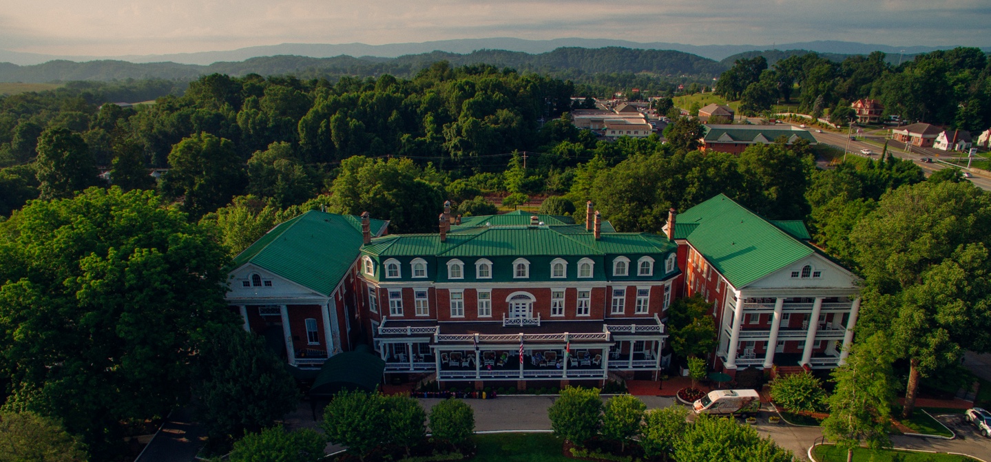
The 200,000-acre Mount Rogers National Recreation Area is part of the George Washington and Jefferson National Forest in southwest Virginia. The mountain is named for William Barton Rogers, the founder of the Massachusetts Institute of Technology and the first state geologist of Virginia. For visitors to the area, your first stop should be the Pat Jennings Visitor Center, which is six miles off of Interstate 81. There you can pick up maps and learn about the trail systems in the area. You’ll find information on the four designated wilderness areas, as well as the Virginia Creeper Trail, the Appalachian Trail, and the Mount Rogers Scenic Byway, which covers more than 50 miles and offers an excellent way to explore the area by car. Guide services provide shuttles to different trails in the area, and there’s a wide variety of camping available. Or you can stay in nearby Abingdon, which offers everything from historic inns and bed & breakfasts to hotels.
The Hike
You’ll find more than 400 mile of trails in the Mount Rogers NRA, including the Appalachian Trail and the Virginia Creeper Trail, two of the best-known trails in the eastern United State. You have an overwhelming number of options when it comes to designing a multi-day hike or backpacking experience.
For this day hike, however, you’ll want to start at Grayson Highlands State Park, which is located adjacent to the Mount Rogers NRA. It, too features a wide variety of trails, where you can find scenic waterfalls as well as a 200-year-old pioneer cabin. The just over four-mile trail (one way) starting in Massie Gap to the top of Mount Rogers provides incredible views of the wilderness nearly the entire way. Taking the Rhododendron Trail, you’ll start by crossing an open field that follows an old wagon road, and chances are this is where you’ll spot your first wild ponies.
The area supports two herds of free-roaming wild ponies, which are descended from Shetland ponies and were introduced to help prevent reforestation on the highland balds that provide those unobstructed views. The ponies are used to being around people, but visitors are discouraged from getting too close as to avoid getting kicked or bitten, and feeding the ponies is strictly prohibited. For many people hiking among the ponies is just another reason why this hike is so special.
After covering the meadows, you’ll hit the Appalachian Trail and take that through the rocky outcroppings found at Wilburn Ridge. This is followed by passing through the aptly named Rhododendron Gap. Just past the Thomas Knob Shelter, you’ll find the spur trail, which will take you to the summit of Mount Rogers.
One of the more unusual aspects of this trail is that as you achieve higher altitudes, you reach a tree line, rather than the opposite you find in higher altitudes out west. The highland balds give way to thick spruce and fir forests, which actually obstruct your views from the peak. But hiking amid the forest is a welcome addition to the variety found on the trail—and you’ll get those panoramic views back on the way down.

Exploring Grayson Highlands
If you have a chance to further explore Grayson Highlands and the surrounding area, do so. Whitetop Mountain, Virginia’s second highest peak, also features some excellent trails with more stunning overlooks. Mountain bikers can find trails to explore, and equestrians can take advantage of the Virginia Highlands Horse Trail.
Keep in mind that weather in this area can change quickly. Read the park’s Severe Weather Policy and follow its rules and trail closures. Signs are posted at the Massie Gap Trailhead when weather forces a closure.
Finally while this is a popular day hike, be sure to take the same precautions as you should anytime you enter the wilderness. Be prepared with food, water, and appropriate clothing for a change in the weather, which can happen quickly.
Hikers who plan ahead and come prepared will be hard pressed to find a more scenic hike. Is it the best day hike in Southwest Virginia? Give it a shot and you’ll understand why it’s certainly in the conversation.
Originally written by RootsRated for AbingdonVA.
Featured image provided by Ryan Somma